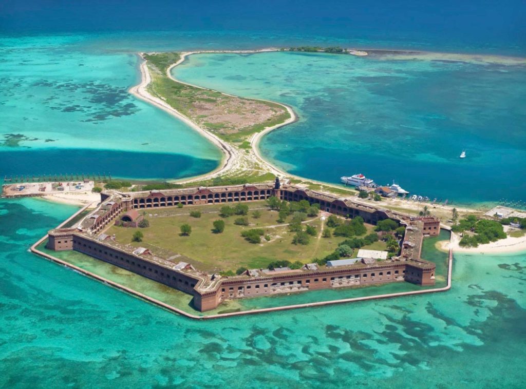
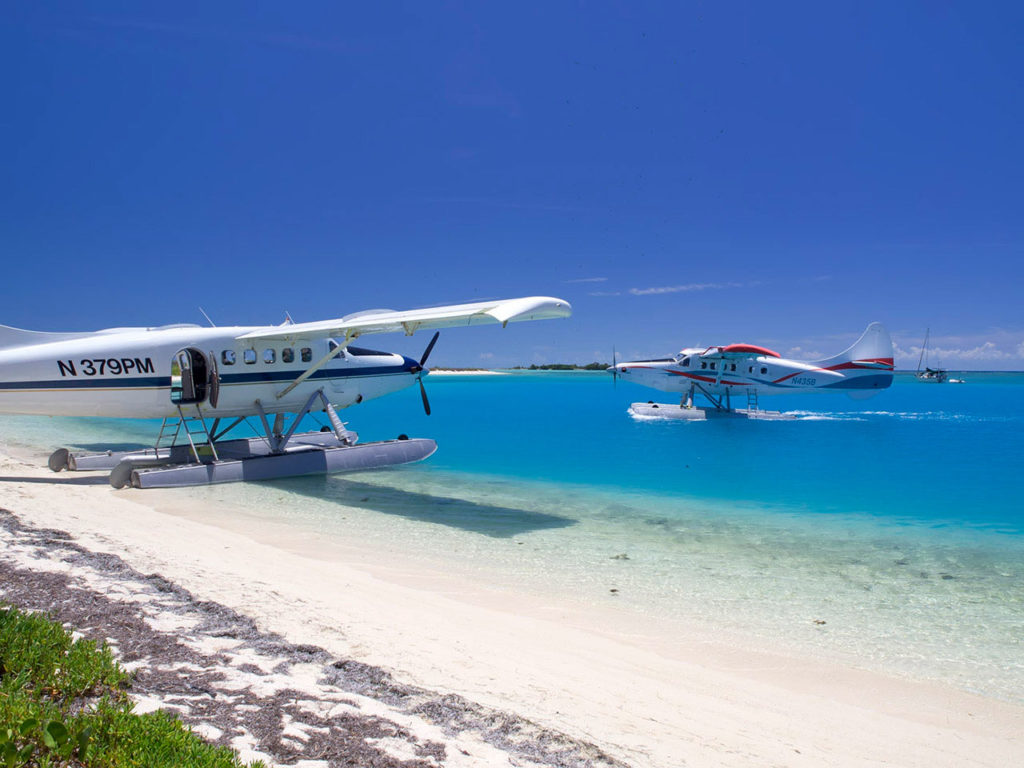
The Florida Keys do not end in Key West. The island is just the end of the highway – US1. The chain of islands that make up the Florida Keys continue for a further 70 miles. Our flight route takes you due west, over this island chain. Our destination, Dry Tortugas National Park, lies in the blue/green waters of the Gulf of Mexico and is the true end of the Keys. The next point of land would be Mexico. In our seaplanes everyone gets a window seat and a headset. The flight is narrated throughout, and with your pilot as your personal tour guide, it is a low altitude sight-seeing flight you will never forget. In fact, we have many passengers whose sole purpose of going to the Dry Tortugas is to experience our airplane ride.
Immediately after take-off, you get a birds-eye view of Key West and the historic downtown and harbor area.
Just west of Key West, we fly over an area known as the “Flats”. This is a body of very shallow water only 3-5 feet deep, extending almost 20 miles. This area is part of the National Marine Sanctuary and is a very sensitive eco system, teeming with marine and bird life. Marine life can be spotted anywhere along the flight route but these shallow waters make spotting marine life easy. Expect to see plenty of sharks, sting rays and the occasional porpoise.
There are plenty of uninhabited mangrove islands in this area but only one island has a private house, this is Ballast Key. It is also the only privately owned land within the boundaries of the National Marine Sanctuary. Tennessee Williams often painted canvases there while visiting the owners in the late 70’s and early 80’s. The island also had a cameo appearance in the Bond movie License to Kill. 25 miles out we fly over the Marquesas Islands. These islands are easy to spot as they are a coral atoll, which is a large circular group of coral islands. Coral atolls are usually volcanic in origin and are found in the Pacific and Indian Oceans, there is some speculation this Atoll was caused be a meteorite impact, however it is more likely this Atoll is just naturally occurring shaped by wind and wave action.
Beyond the Marquesas Islands lie the “Quicksands.” This area is excellent for spotting huge sea turtles. The water goes down to 30 feet deep and you will be flying over an underwater desert. The sea-bed is made up of huge sand dunes that are continually moved by the strong tidal currents. It is here that the famous treasure salver Mel fisher found the treasures of the Spanish Galleons “Atocha” and “Margarita.” Over half a billion dollars’ worth of gold and silver strewn across an eight-mile area. Today this is still an active treasure site with regular finds of huge Spanish Emeralds.
It is in this area we will show you a couple of ship wrecks, the first of which is a World War II Destroyer Escort, the “Patricia.” She was intentionally sunk by the U.S. Navy to use for bombing practice. The bombing and hurricanes have taken their toll; she is now just a shape of a ship on the seabed. The second is the “Arbutus.” This was a 70ft work vessel used by Mel Fisher’s divers and it sank without loss of life, due to hull deterioration. The Spanish galleons cannot be seen from the air but this ship marks the northern edge of the treasure site and with its mast still above water it makes for an excellent photograph.
Upon arrival at the Dry Tortugas we make a low pass over Fort Jefferson for a photo opportunity. After circling the fort, we make a smooth water landing, beach the airplane and you will be free to enjoy the delights of the Dry Tortugas. Bring along your camera, the photography is spectacular.


